See your site clearly. Act with confidence.
High-precision drone mapping and inspection services that help you finish on time, stay safe, and eliminate costly surprises.
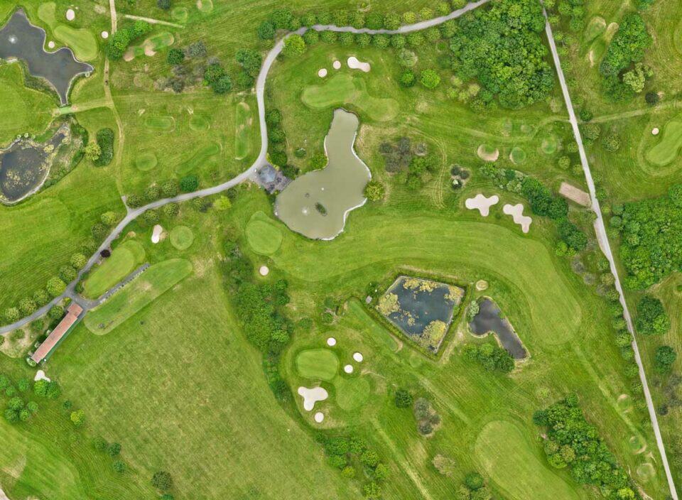
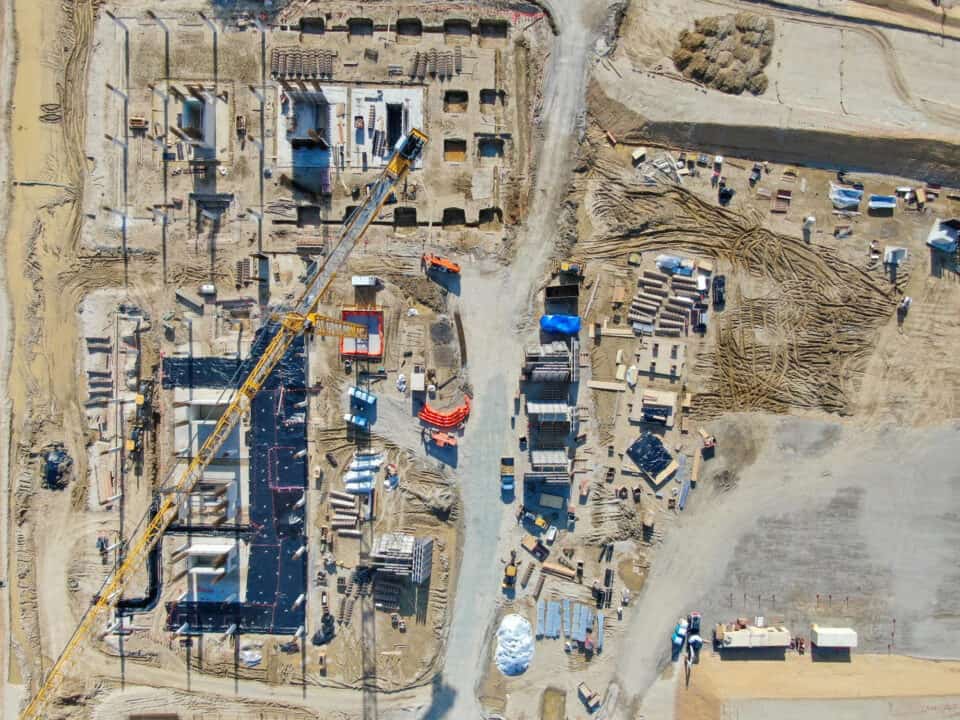
Faster decisions, better outcomes.
What You Will Gain
Every decision is easier when you see the full picture. Our aerial data gives you the clarity, accuracy, and confidence to move faster and deliver better results.
Stay on schedule with precise aerial mapping and up-to-date site data. Identify risks early, verify progress, and avoid costly rework.
Finish with confidence
Get a clear, measurable overview of your entire site - from topography to volume calculations - so you always know where your project stands.
Total project clarity
Reduce manual risk and keep your team out of danger zones. Our drones handle inspections in hard-to-reach areas safely and efficiently.
Safety without compromise
What used to take days on the ground now takes hours from the air — giving you results faster and budgets under control.
Save time and money
PRECISION FROM ABOVE
Our Solutions
Delivering precision mapping and detailed inspections for construction sites, architectural projects, and property portfolios
Drone Mapping & 3D Modeling
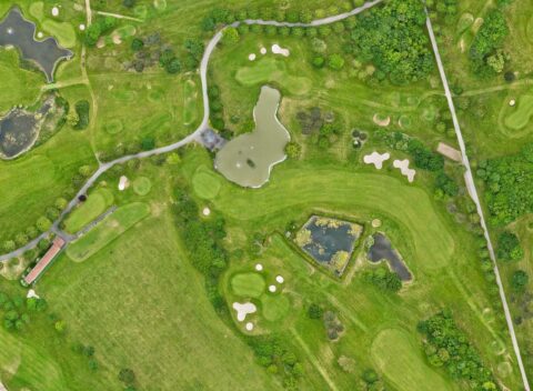
High-resolution aerial imagery and precise georeferenced maps that let you plan, measure, and manage with confidence.
From earthworks to infrastructure projects - our deliverables integrate seamlessly with CAD and GIS workflows.
work with us
Construction Progress Monitoring
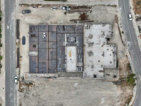
Regular drone flights keep your projects transparent. Track development over time, verify milestones, and share visual updates with clients and stakeholders.
No guesswork - just crystal-clear progress documentation.
work with us
Inspection & Compliance Audits
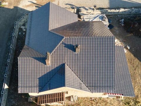
From rooftops to solar panels, from towers to bridges - we inspect what’s hard to reach.
You’ll reduce risk, save time, and ensure compliance without stopping operations.
work with us
Reliable. Transparent. Precise.

At AERIALS.CY, every mission follows strict safety, data-handling, and quality standards.
We plan meticulously, communicate clearly, and deliver exactly what we promise — on time, every time.
work with us
Local. Licensed. Reliable.
Why Work With Us
When you hire us, you’re not just getting drone footage — you’re getting a partner who understands your industry, your standards, and your deadlines. Reliable, precise, and fully certified — we deliver results you can count on.
Industry expertise
We understand construction, infrastructure, and real-estate workflows - and we speak your language.
Licensed & insured
We operate under EASA regulations and full insurance, ensuring your project and data are always protected.
High-precision
Using state-of-the-art hard- and software, we deliver measurable accuracy you can rely on.
Fast turnaround
You’ll receive ready-to-use data and visuals within hours or days — not weeks.